District Boundaries
Boundary Description
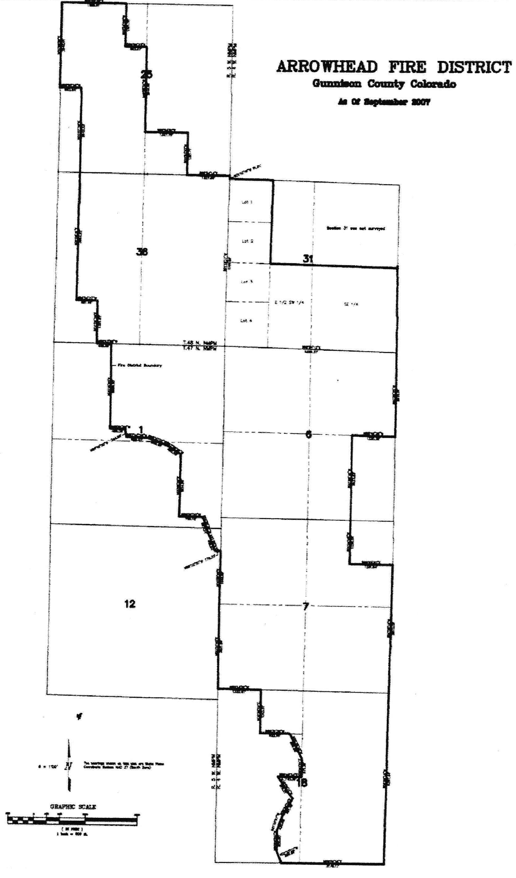
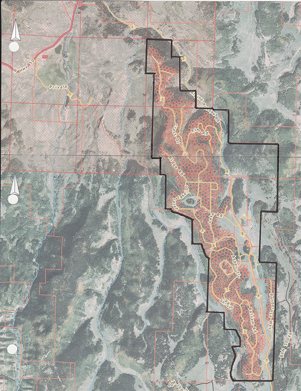
Beginning at the Northwest corner of Section 25, Township 48 North, Range 5 West, NMPM; thence S 88°56'39" E 1985.91 feet along the North line of Section 25; thence S 0°54'06" W 1321.35 feet; thence S 88°56'03" E 662.07 feet; thence S 0°55'51" W 2642.95 feet; thence S 88°54'51" E 1327.79 feet; thence S 0°53'50" W 1321.71 feet; thence S 88°54'14" E 1327.60 feet to the Southeast corner of said Section 25; thence S 1°10'19" W 91.91 feet to the Northwest corner of Section 31 of Township 48 North, Range 4 West, NMPM; thence S 1 °18'17" W 5191.62 feet to the Southwest corner of Section 31; thence S 88°24'12' E 5324.37 feet to the Southeast comer of Section 31, said point is also the Northeast corner of Section 6, Township 47 North, Range 4 West, NMPM; thence S 0°25'25" W 2630.01 feet to the East¼ corner of Section 6; thence N 88°46'38" W 1330.38 feet; thence S 0°26'16" W 2633.83 feet; thence s 1604'06" W 1328.02 feet; thence S 89°22'52" E 1331.64 feet; thence S 1°02'18" W 3973.09 feet to the Northeast corner of Section 18; thence S 1°02'18" W 5297.44 feet to the Southeast corner of Section 18; thence S 89°51'16" W 3176.17 feet along the South line of Section 18; thence N 21 °33'02" W 386.56 feet; thence N 0°00'00" E 655.00 feet; thence N 21 °05'07" E 430.85 feet; thence N 28°44'06" E 661.46 feet; thence N 34°59'11" W 819.21 feet; thence S 89°48'24" E 740.36 feet; thence N 0°40'51" E 571.39 feet thence N 26°29'10" W 859.08 feet; thence N 89°31'35" W 922.96 feet; thence N 0°29'52" E 1343.51 feet; thence N 89°14'51" W 1332.67 feet to the Southwest corner of Section 7, Township 47 North Range 4 West, NMPM; thence N 0°12'20" E 2621.86 feet; thence N o0s9'10" E 1648.89 feet; thence N 89°02'30" W 179.30 feet; thence N 21°55'53" W 409.64 feet; thence N 19°25'37" W 697.24 feet; thence N 88°51'00" W 726.12 feet; thence N 0°49'00" E 1934.96 feet; thence N 57°39'29" W 495.58 feet; thence N 69°10'02" W 649.48 feet; thence N 87°40'25" w 665.53 feet; thence N 9°16'20'' W 244.86 feet; thence N 88°51'00" W 459.09 feet; thence N o01s'S0" E 2659.20 feet to the South line of Section 36, Township 48 North, Range 5 West, NMPM; thence along said South line N 88°53'58" W 458.69 feet; thence N 1°06'38" E 1321.62 feet; thence N 88°54'27" W 661.46 feet; thence N 1°04'31" E 3964.22 feet; thence N 0°57'36" E 2642.23 feet; thence N 88°55'26" W 662.94 feet; thence N 0°58'51" E 2642.01 feet to the point of Beginning.
Also the SE 1/4, the E 1/4 SW 1/4, and BLM Lots 1, 2, 3 & 4 of Section 31 Township 48 North, Range 4 West, NMPM.


